This weather event on September 19, 2026 includes:
5 states
30 counties,
17 cities,
and 57 zip codes.
There were total properties that were impacted and have possible damage.
States Impacted By Hail On September 19, 2026
Illinois
·
Indiana
·
Kentucky
·
Ohio
·
Tennessee
Counties Impacted By Hail On September 19, 2026
Jasper, IL
·
Richland, IL
·
Switzerland, IN
·
Union, IN
·
Wayne, IN
·
Boone, KY
·
Boyle, KY
·
Campbell, KY
·
Casey, KY
·
Clark, KY
·
Kenton, KY
·
Laurel, KY
·
Lincoln, KY
·
McCreary, KY
·
Whitley, KY
·
Butler, OH
·
Clermont, OH
·
Hamilton, OH
·
Montgomery, OH
·
Preble, OH
·
Warren, OH
·
Clay, TN
·
Cumberland, TN
·
Fentress, TN
·
Jackson, TN
·
Macon, TN
·
Morgan, TN
·
Scott, TN
·
Smith, TN
·
Trousdale, TN
Cities Impacted By Hail On September 19, 2026
California, KY
·
Elgin, TN
·
Germantown, OH
·
Hamilton, OH
·
Hartsville/Trousdale County, TN
·
Lafayette, TN
·
Lake Lakengren, OH
·
London, KY
·
Middletown, OH
·
Monroe, OH
·
New Richmond, OH
·
Richmond, IN
·
Robbins, TN
·
Sunbright, TN
·
Verona, KY
·
Walton, KY
·
Winchester, KY
Zip Codes Impacted By Hail On September 19, 2026
37057
·
37083
·
37145
·
37150
·
37726
·
37732
·
37733
·
37755
·
37756
·
37770
·
37852
·
37872
·
38551
·
38553
·
38556
·
38562
·
38568
·
38571
·
38575
·
38588
·
40328
·
40391
·
40437
·
40464
·
40484
·
40741
·
40769
·
41007
·
41030
·
41092
·
41094
·
42635
·
42649
·
42653
·
45005
·
45011
·
45013
·
45015
·
45030
·
45036
·
45040
·
45042
·
45044
·
45050
·
45053
·
45153
·
45157
·
45311
·
45320
·
45327
·
47020
·
47043
·
47353
·
47374
·
62425
·
62448
·
62475
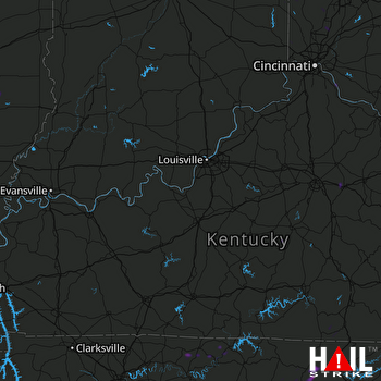 LOUISVILLE (KLVX) RADAR

