This weather event on July 5, 2025 includes:
4 states
25 counties,
20 cities,
and 79 zip codes.
There were total properties that were impacted and have possible damage.
States Impacted By Hail On July 5, 2025
Iowa
·
Kansas
·
Missouri
·
Nebraska
Counties Impacted By Hail On July 5, 2025
Fremont, IA
·
Barton, KS
·
Clay, KS
·
Dickinson, KS
·
Geary, KS
·
Jackson, KS
·
Lincoln, KS
·
Ottawa, KS
·
Pottawatomie, KS
·
Riley, KS
·
Rush, KS
·
Saline, KS
·
Wabaunsee, KS
·
Atchison, MO
·
Butler, NE
·
Cass, NE
·
Colfax, NE
·
Dodge, NE
·
Gage, NE
·
Lancaster, NE
·
Madison, NE
·
Otoe, NE
·
Platte, NE
·
Richardson, NE
·
Saunders, NE
Cities Impacted By Hail On July 5, 2025
Abilene, KS
·
Assaria, KS
·
Beatrice, NE
·
Bennington, KS
·
Creston, NE
·
Dunbar, NE
·
Eagle, NE
·
Hoisington, KS
·
Lincoln, NE
·
Louisville, KS
·
Manchester, KS
·
Manhattan, KS
·
Nebraska City, NE
·
Ogden, KS
·
Percival, IA
·
Salina, KS
·
Solomon, KS
·
Susank, KS
·
Wakefield, KS
·
Wamego, KS
Zip Codes Impacted By Hail On July 5, 2025
51648
·
51654
·
66407
·
66418
·
66422
·
66432
·
66441
·
66442
·
66502
·
66507
·
66514
·
66517
·
66521
·
66535
·
66536
·
66540
·
66549
·
67401
·
67410
·
67416
·
67422
·
67423
·
67425
·
67431
·
67432
·
67455
·
67456
·
67458
·
67467
·
67470
·
67480
·
67484
·
67487
·
67511
·
67520
·
67525
·
67530
·
67544
·
67565
·
67575
·
68018
·
68025
·
68041
·
68057
·
68065
·
68070
·
68310
·
68331
·
68333
·
68341
·
68346
·
68347
·
68357
·
68368
·
68376
·
68410
·
68418
·
68422
·
68446
·
68448
·
68454
·
68522
·
68524
·
68528
·
68532
·
68601
·
68624
·
68626
·
68632
·
68642
·
68653
·
68661
·
68748
·
51640
·
66503
·
66547
·
68349
·
68458
·
68631
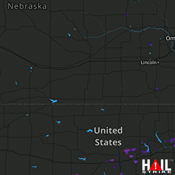 HASTINGS (KUEX) RADAR

