This weather event on May 18, 2025 includes:
3 states
22 counties,
16 cities,
and 65 zip codes.
There were 1421 total properties that were impacted and have possible damage.
States Impacted By Hail On May 18, 2025
Alabama
·
Arkansas
·
Mississippi
Counties Impacted By Hail On May 18, 2025
Pickens, AL
·
Arkansas, AR
·
Desha, AR
·
Phillips, AR
·
Bolivar, MS
·
Carroll, MS
·
Choctaw, MS
·
Clay, MS
·
Coahoma, MS
·
Grenada, MS
·
Leflore, MS
·
Lowndes, MS
·
Monroe, MS
·
Montgomery, MS
·
Noxubee, MS
·
Oktibbeha, MS
·
Panola, MS
·
Quitman, MS
·
Sunflower, MS
·
Tallahatchie, MS
·
Washington, MS
·
Yalobusha, MS
Cities Impacted By Hail On May 18, 2025
Boyle, MS
·
Carrollton, MS
·
Charleston, MS
·
Doddsville, MS
·
Duck Hill, MS
·
Greenwood, MS
·
Itta Bena, MS
·
Mound Bayou, MS
·
North Carrollton, MS
·
Ruleville, MS
·
Shaw, MS
·
Starkville, MS
·
Sunflower, MS
·
Tillatoba, MS
·
West Point, MS
·
Winstonville, MS
Zip Codes Impacted By Hail On May 18, 2025
35466
·
35481
·
38606
·
38643
·
38646
·
38703
·
38720
·
38725
·
38730
·
38732
·
38736
·
38737
·
38740
·
38746
·
38751
·
38756
·
38759
·
38761
·
38762
·
38769
·
38771
·
38773
·
38774
·
38778
·
38781
·
38901
·
38917
·
38921
·
38922
·
38923
·
38925
·
38927
·
38930
·
38940
·
38941
·
38943
·
38944
·
38945
·
38947
·
38948
·
38950
·
38952
·
38954
·
38961
·
38965
·
38967
·
39176
·
39701
·
39702
·
39730
·
39736
·
39739
·
39743
·
39745
·
39747
·
39752
·
39759
·
39766
·
39767
·
39773
·
71674
·
72166
·
72328
·
72367
·
72379
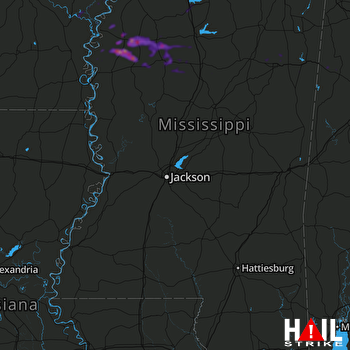 JACKSON (KDGX) RADAR

