This weather event on July 8, 2024 includes:
3 states
16 counties,
24 cities,
and 56 zip codes.
There were 1782 total properties that were impacted and have possible damage.
States Impacted By Hail On July 8, 2024
Indiana
·
Michigan
·
Wisconsin
Counties Impacted By Hail On July 8, 2024
LaPorte, IN
·
Starke, IN
·
St. Joseph, IN
·
Allegan, MI
·
Berrien, MI
·
Cass, MI
·
Van Buren, MI
·
Brown, WI
·
Calumet, WI
·
Clark, WI
·
Marathon, WI
·
Outagamie, WI
·
Waupaca, WI
·
Waushara, WI
·
Winnebago, WI
·
Wood, WI
Cities Impacted By Hail On July 8, 2024
Allegan, MI
·
Appleton, WI
·
Bangor, MI
·
Berrien Springs, MI
·
Bloomingdale, MI
·
Breedsville, MI
·
Chili, WI
·
Combined Locks, WI
·
De Pere, WI
·
Harrison, WI
·
Hartford, MI
·
Hopkins, MI
·
Hortonville, WI
·
Kaukauna, WI
·
Kimberly, WI
·
Marshfield, WI
·
Menasha, WI
·
New Carlisle, IN
·
New London, WI
·
Niles, MI
·
Paw Paw Lake, MI
·
South Bend, IN
·
Watervliet, MI
·
Wautoma, WI
Zip Codes Impacted By Hail On July 8, 2024
46365
·
46371
·
46382
·
46532
·
46534
·
46552
·
46628
·
46637
·
49010
·
49013
·
49022
·
49026
·
49027
·
49031
·
49043
·
49047
·
49055
·
49056
·
49057
·
49064
·
49098
·
49102
·
49103
·
49107
·
49111
·
49113
·
49120
·
49323
·
49328
·
49348
·
49450
·
54106
·
54113
·
54115
·
54130
·
54170
·
54412
·
54420
·
54426
·
54449
·
54455
·
54484
·
54911
·
54914
·
54915
·
54940
·
54944
·
54952
·
54961
·
54970
·
54984
·
46340
·
46348
·
46350
·
54913
·
54982
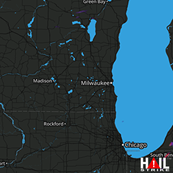 MILWAUKEE (KMKX) RADAR

