This weather event on May 17, 2024 includes:
3 states
26 counties,
19 cities,
and 56 zip codes.
There were 2525 total properties that were impacted and have possible damage.
States Impacted By Hail On May 17, 2024
Alabama
·
Louisiana
·
Mississippi
Counties Impacted By Hail On May 17, 2024
Mobile, AL
·
Livingston, LA
·
St. Helena, LA
·
Tangipahoa, LA
·
Washington, LA
·
Copiah, MS
·
Forrest, MS
·
George, MS
·
Greene, MS
·
Hancock, MS
·
Harrison, MS
·
Hinds, MS
·
Jackson, MS
·
Jasper, MS
·
Jefferson Davis, MS
·
Jones, MS
·
Marion, MS
·
Pearl River, MS
·
Perry, MS
·
Pike, MS
·
Rankin, MS
·
Scott, MS
·
Simpson, MS
·
Smith, MS
·
Stone, MS
·
Walthall, MS
Cities Impacted By Hail On May 17, 2024
Brandon, MS
·
Byram, MS
·
Chunchula, AL
·
Citronelle, AL
·
D'Lo, MS
·
Ellisville, MS
·
Flowood, MS
·
Independence, LA
·
Jackson, MS
·
Lucedale, MS
·
Pearl, MS
·
Polkville, MS
·
Poplarville, MS
·
Richland, MS
·
Robinhood, MS
·
Saucier, MS
·
Utica, MS
·
Varnado, LA
·
Wiggins, MS
Zip Codes Impacted By Hail On May 17, 2024
36521
·
36522
·
36587
·
36613
·
39042
·
39044
·
39047
·
39059
·
39062
·
39073
·
39074
·
39078
·
39082
·
39111
·
39114
·
39117
·
39145
·
39149
·
39152
·
39153
·
39154
·
39170
·
39175
·
39193
·
39204
·
39208
·
39218
·
39272
·
39338
·
39421
·
39425
·
39427
·
39429
·
39437
·
39452
·
39455
·
39456
·
39470
·
39503
·
39556
·
39565
·
39571
·
39573
·
39574
·
39577
·
39648
·
39652
·
39667
·
70422
·
70426
·
70427
·
70438
·
70443
·
70446
·
70744
·
39140
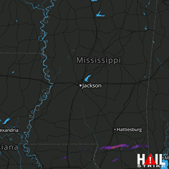 JACKSON (KDGX) RADAR

