This weather event on September 20, 2026 includes:
2 states
19 counties,
26 cities,
and 55 zip codes.
There were total properties that were impacted and have possible damage.
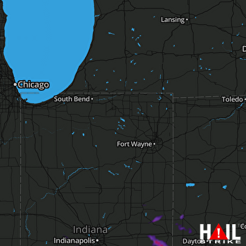 FORT WAYNE (KIWX) RADAR
States Impacted By Hail On September 20, 2026
Indiana
·
Ohio
Counties Impacted By Hail On September 20, 2026
Delaware, IN
·
Fayette, IN
·
Fountain, IN
·
Hendricks, IN
·
Henry, IN
·
Johnson, IN
·
Montgomery, IN
·
Morgan, IN
·
Putnam, IN
·
Randolph, IN
·
Union, IN
·
Wayne, IN
·
Butler, OH
·
Clark, OH
·
Darke, OH
·
Miami, OH
·
Montgomery, OH
·
Preble, OH
·
Shelby, OH
Cities Impacted By Hail On September 20, 2026
Bargersville, IN
·
Cambridge City, IN
·
Castine, OH
·
College Corner, OH
·
Connersville, IN
·
Dublin, IN
·
East Germantown, IN
·
Eldorado, OH
·
Gordon, OH
·
Greenville, OH
·
Hollansburg, OH
·
Huber Heights, OH
·
Ithaca, OH
·
Liberty, IN
·
Losantville, IN
·
Milton, IN
·
Modoc, IN
·
Mooresville, IN
·
Mount Auburn, IN
·
New Carlisle, OH
·
New Madison, OH
·
Park Layne, OH
·
Selma, IN
·
Verona, OH
·
Wayne Lakes, OH
·
West College Corner, IN
Zip Codes Impacted By Hail On September 20, 2026
45003
·
45056
·
45304
·
45309
·
45311
·
45320
·
45321
·
45331
·
45332
·
45337
·
45338
·
45344
·
45346
·
45347
·
45365
·
45378
·
45382
·
45424
·
46106
·
46113
·
46118
·
46122
·
46131
·
46143
·
46151
·
46158
·
46165
·
46168
·
46172
·
47003
·
47302
·
47303
·
47304
·
47320
·
47325
·
47327
·
47330
·
47331
·
47335
·
47340
·
47352
·
47353
·
47354
·
47355
·
47357
·
47358
·
47360
·
47362
·
47374
·
47383
·
47387
·
47394
·
47949
·
47954
·
47987

