This weather event on September 4, 2026 includes:
3 states
21 counties,
19 cities,
and 62 zip codes.
There were 133 total properties that were impacted and have possible damage.
States Impacted By Hail On September 4, 2026
Ohio
·
Pennsylvania
·
West Virginia
Counties Impacted By Hail On September 4, 2026
Athens, OH
·
Champaign, OH
·
Clark, OH
·
Delaware, OH
·
Guernsey, OH
·
Licking, OH
·
Logan, OH
·
Marion, OH
·
Monroe, OH
·
Morgan, OH
·
Morrow, OH
·
Muskingum, OH
·
Noble, OH
·
Union, OH
·
Washington, OH
·
Greene, PA
·
Marshall, WV
·
Monongalia, WV
·
Tyler, WV
·
Wetzel, WV
·
Wood, WV
Cities Impacted By Hail On September 4, 2026
Boaz, WV
·
Dexter City, OH
·
Hanover, OH
·
Hundred, WV
·
Lewisville, OH
·
Littleton, WV
·
Macksburg, OH
·
Marne, OH
·
Marysville, OH
·
New California, OH
·
New Freeport, PA
·
North Lewisburg, OH
·
Pine Grove, WV
·
Reader, WV
·
Stafford, OH
·
St. Paris, OH
·
Summerfield, OH
·
Vincent, OH
·
Waldo, OH
Zip Codes Impacted By Hail On September 4, 2026
15310
·
15352
·
26033
·
26055
·
26149
·
26155
·
26167
·
26175
·
26187
·
26377
·
26419
·
26562
·
26575
·
26581
·
43003
·
43011
·
43015
·
43040
·
43055
·
43056
·
43060
·
43064
·
43066
·
43067
·
43072
·
43080
·
43302
·
43315
·
43319
·
43342
·
43356
·
43357
·
43360
·
43724
·
43725
·
43727
·
43728
·
43754
·
43755
·
43756
·
43762
·
43767
·
43779
·
43787
·
43788
·
43793
·
43946
·
45344
·
45502
·
45711
·
45714
·
45715
·
45724
·
45727
·
45729
·
45744
·
45745
·
45746
·
45750
·
45778
·
45784
·
45786
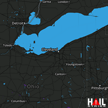 CLEVELAND (KCLE) RADAR

