This weather event on September 4, 2026 includes:
2 states
14 counties,
23 cities,
and 49 zip codes.
There were total properties that were impacted and have possible damage.
States Impacted By Hail On September 4, 2026
Iowa
·
Minnesota
Counties Impacted By Hail On September 4, 2026
Allamakee, IA
·
Butler, IA
·
Cerro Gordo, IA
·
Chickasaw, IA
·
Fayette, IA
·
Floyd, IA
·
Franklin, IA
·
Howard, IA
·
Winneshiek, IA
·
Fillmore, MN
·
Houston, MN
·
Jackson, MN
·
Martin, MN
·
Nobles, MN
Cities Impacted By Hail On September 4, 2026
Alta Vista, IA
·
Aredale, IA
·
Burr Oak, IA
·
Caledonia, MN
·
Calmar, IA
·
Chapin, IA
·
Charles City, IA
·
Cresco, IA
·
Decorah, IA
·
Eitzen, MN
·
Fort Atkinson, IA
·
Jackson Junction, IA
·
Lakefield, MN
·
Lawler, IA
·
New Hampton, IA
·
Rockwell, IA
·
Roseville, IA
·
Rushmore, MN
·
Sheffield, IA
·
Spillville, IA
·
Spring Grove, MN
·
Waucoma, IA
·
Wilmont, MN
Zip Codes Impacted By Hail On September 4, 2026
50420
·
50433
·
50441
·
50452
·
50457
·
50468
·
50469
·
50475
·
50479
·
50603
·
50605
·
50611
·
50616
·
50625
·
50630
·
50636
·
50645
·
50653
·
50659
·
52101
·
52132
·
52136
·
52140
·
52144
·
52151
·
52154
·
52160
·
52161
·
52165
·
52168
·
52171
·
52172
·
55919
·
55921
·
55922
·
55931
·
55954
·
55974
·
56101
·
56110
·
56111
·
56143
·
56150
·
56155
·
56165
·
56168
·
56176
·
56185
·
56187
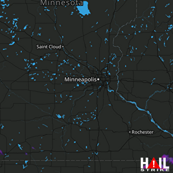 MINNEAPOLIS (KMPX) RADAR

