This weather event on August 18, 2026 includes:
2 states
20 counties,
21 cities,
and 81 zip codes.
There were 634 total properties that were impacted and have possible damage.
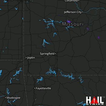 SPRINGFIELD (KSGF) RADAR
States Impacted By Hail On August 18, 2026
Kansas
·
Missouri
Counties Impacted By Hail On August 18, 2026
Wyandotte, KS
·
Benton, MO
·
Boone, MO
·
Camden, MO
·
Clay, MO
·
Cooper, MO
·
Crawford, MO
·
Dent, MO
·
Howard, MO
·
Jackson, MO
·
Lafayette, MO
·
Maries, MO
·
Miller, MO
·
Morgan, MO
·
Osage, MO
·
Pettis, MO
·
Phelps, MO
·
Ray, MO
·
Reynolds, MO
·
Saline, MO
Cities Impacted By Hail On August 18, 2026
Argyle, MO
·
Blue Springs, MO
·
Camden, MO
·
Cole Camp, MO
·
Fleming, MO
·
Grain Valley, MO
·
Gravois Mills, MO
·
Henrietta, MO
·
Higginsville, MO
·
Independence, MO
·
Kansas City, KS
·
Kansas City, MO
·
Lake Ozark, MO
·
Lexington, MO
·
North Kansas City, MO
·
Orrick, MO
·
Sedalia, MO
·
Sibley, MO
·
Sugar Creek, MO
·
Village of Four Seasons, MO
·
Wellington, MO
Zip Codes Impacted By Hail On August 18, 2026
63654
·
64014
·
64015
·
64016
·
64017
·
64021
·
64029
·
64036
·
64037
·
64050
·
64052
·
64053
·
64054
·
64055
·
64056
·
64057
·
64058
·
64067
·
64075
·
64077
·
64085
·
64088
·
64097
·
64101
·
64102
·
64105
·
64106
·
64108
·
64109
·
64111
·
64116
·
64120
·
64123
·
64124
·
64125
·
64126
·
64127
·
64128
·
64129
·
64133
·
64161
·
65001
·
65011
·
65026
·
65035
·
65037
·
65047
·
65049
·
65058
·
65072
·
65075
·
65078
·
65082
·
65084
·
65085
·
65202
·
65248
·
65256
·
65276
·
65301
·
65325
·
65334
·
65340
·
65345
·
65347
·
65350
·
65351
·
65401
·
65449
·
65459
·
65486
·
65550
·
65560
·
65582
·
66101
·
66102
·
66103
·
66105
·
66106
·
66115
·
66118

