This weather event on April 27, 2026 includes:
2 states
12 counties,
28 cities,
and 52 zip codes.
There were 96 total properties that were impacted and have possible damage.
States Impacted By Hail On April 27, 2026
Indiana
·
Kentucky
Counties Impacted By Hail On April 27, 2026
Clark, IN
·
Switzerland, IN
·
Carroll, KY
·
Franklin, KY
·
Harrison, KY
·
Henry, KY
·
Jefferson, KY
·
Oldham, KY
·
Owen, KY
·
Scott, KY
·
Shelby, KY
·
Trimble, KY
Cities Impacted By Hail On April 27, 2026
Audubon Park, KY
·
Buckner, KY
·
Campbellsburg, KY
·
Charlestown, IN
·
Coldstream, KY
·
Crestwood, KY
·
Eminence, KY
·
Ghent, KY
·
Glenview, KY
·
Goshen, KY
·
Gratz, KY
·
Jeffersonville, IN
·
La Grange, KY
·
Louisville, KY
·
Lynnview, KY
·
Middletown, KY
·
Monterey, KY
·
Orchard Grass Hills, KY
·
Parkway Village, KY
·
Pewee Valley, KY
·
Prospect, KY
·
River Bluff, KY
·
Sadieville, KY
·
Shelbyville, KY
·
Smithfield, KY
·
Vevay, IN
·
Westport, KY
·
Worthville, KY
Zip Codes Impacted By Hail On April 27, 2026
40003
·
40006
·
40007
·
40010
·
40011
·
40014
·
40019
·
40023
·
40026
·
40031
·
40036
·
40055
·
40056
·
40057
·
40059
·
40065
·
40067
·
40068
·
40070
·
40075
·
40076
·
40077
·
40204
·
40205
·
40206
·
40209
·
40213
·
40214
·
40216
·
40217
·
40219
·
40222
·
40223
·
40241
·
40243
·
40245
·
40258
·
40272
·
40299
·
40324
·
40359
·
40370
·
40379
·
40601
·
41008
·
41031
·
41045
·
41083
·
41098
·
47043
·
47111
·
47130
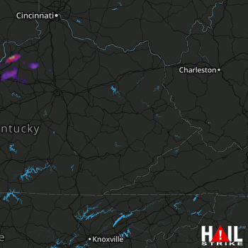 JACKSON (KJKL) RADAR

