This weather event on February 19, 2026 includes:
3 states
33 counties,
10 cities,
and 71 zip codes.
There were 624 total properties that were impacted and have possible damage.
States Impacted By Hail On February 19, 2026
Kentucky
·
Ohio
·
West Virginia
Counties Impacted By Hail On February 19, 2026
Adair, KY
·
Breathitt, KY
·
Casey, KY
·
Fleming, KY
·
Floyd, KY
·
Garrard, KY
·
Jackson, KY
·
Johnson, KY
·
Knott, KY
·
Laurel, KY
·
Lawrence, KY
·
Lee, KY
·
Lincoln, KY
·
Madison, KY
·
Magoffin, KY
·
Martin, KY
·
Morgan, KY
·
Nicholas, KY
·
Owsley, KY
·
Pulaski, KY
·
Rockcastle, KY
·
Russell, KY
·
Wolfe, KY
·
Gallia, OH
·
Jackson, OH
·
Meigs, OH
·
Calhoun, WV
·
Jackson, WV
·
Logan, WV
·
Mason, WV
·
Mingo, WV
·
Roane, WV
·
Wirt, WV
Cities Impacted By Hail On February 19, 2026
Berea, KY
·
Booneville, KY
·
Inez, KY
·
Jackson, KY
·
McKee, KY
·
Oak Hill, OH
·
Paintsville, KY
·
Prestonsburg, KY
·
Ravenswood, WV
·
Reedy, WV
Zip Codes Impacted By Hail On February 19, 2026
25239
·
25252
·
25253
·
25262
·
25270
·
25275
·
25276
·
25508
·
25524
·
25649
·
25666
·
25671
·
26143
·
26160
·
26164
·
40311
·
40403
·
40456
·
40460
·
40481
·
41039
·
41224
·
41230
·
41240
·
41250
·
41262
·
41301
·
41311
·
41314
·
41332
·
41339
·
41365
·
41385
·
41408
·
41464
·
41465
·
41607
·
41616
·
41632
·
41653
·
42501
·
42503
·
42516
·
42539
·
42541
·
42544
·
42553
·
42565
·
42566
·
42567
·
42642
·
42728
·
45656
·
45685
·
45686
·
45770
·
45771
·
25123
·
25264
·
25676
·
26141
·
40409
·
40419
·
40437
·
40442
·
40445
·
40447
·
40484
·
40489
·
40729
·
40741
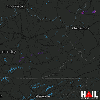 JACKSON (KJKL) RADAR

