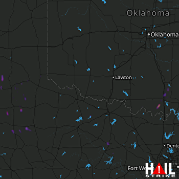
This weather event on October 25, 2025 includes:
2 states
29 counties,
12 cities,
and 65 zip codes.
There were 38 total properties that were impacted and have possible damage.
States Impacted By Hail On October 25, 2025
Oklahoma
·
Texas
Counties Impacted By Hail On October 25, 2025
Carter, OK
·
Coal, OK
·
Jackson, OK
·
Jefferson, OK
·
Johnston, OK
·
Love, OK
·
Murray, OK
·
Pontotoc, OK
·
Tillman, OK
·
Archer, TX
·
Baylor, TX
·
Briscoe, TX
·
Childress, TX
·
Collingsworth, TX
·
Cooke, TX
·
Crosby, TX
·
Dickens, TX
·
Floyd, TX
·
Hall, TX
·
Hardeman, TX
·
Jack, TX
·
King, TX
·
Knox, TX
·
Montague, TX
·
Motley, TX
·
Tarrant, TX
·
Wichita, TX
·
Wilbarger, TX
·
Young, TX
Cities Impacted By Hail On October 25, 2025
Ardmore, OK
·
Benbrook, TX
·
Connerville, OK
·
Dickson, OK
·
Dougherty, OK
·
Gene Autry, OK
·
Lone Grove, OK
·
Springer, OK
·
Spur, TX
·
Stonewall, OK
·
Tipton, OK
·
White Settlement, TX
Zip Codes Impacted By Hail On October 25, 2025
73032
·
73401
·
73430
·
73441
·
73443
·
73448
·
73450
·
73458
·
73460
·
73530
·
73532
·
73537
·
73539
·
73542
·
73551
·
73553
·
73560
·
74871
·
76008
·
76108
·
76116
·
76126
·
76265
·
76360
·
76366
·
76374
·
76380
·
76384
·
76427
·
76450
·
76460
·
79201
·
79225
·
79226
·
79227
·
79229
·
79230
·
79233
·
79234
·
79235
·
79236
·
79241
·
79243
·
79244
·
79245
·
79255
·
79256
·
79257
·
79258
·
79259
·
79261
·
79357
·
79370
·
73030
·
73086
·
73453
·
73521
·
73546
·
73565
·
73569
·
73570
·
74836
·
76252
·
76255
·
76458
 ALTUS AFB (KFDR) RADAR

