This weather event on October 18, 2025 includes:
5 states
14 counties,
30 cities,
and 53 zip codes.
There were total properties that were impacted and have possible damage.
States Impacted By Hail On October 18, 2025
Iowa
·
Illinois
·
Indiana
·
Michigan
·
Wisconsin
Counties Impacted By Hail On October 18, 2025
Delaware, IA
·
Cook, IL
·
Kankakee, IL
·
Livingston, IL
·
Will, IL
·
Lake, IN
·
LaPorte, IN
·
Porter, IN
·
St. Joseph, IN
·
Berrien, MI
·
Cass, MI
·
Grant, WI
·
Iowa, WI
·
Richland, WI
Cities Impacted By Hail On October 18, 2025
Bourbonnais, IL
·
Bradley, IL
·
Bridgman, MI
·
Chesterton, IN
·
Chicago Heights, IL
·
Dyer, IN
·
Griffith, IN
·
Hanna, IN
·
Kingsford Heights, IN
·
Kouts, IN
·
La Porte, IN
·
Limestone, IL
·
Merrillville, IN
·
Michigan City, IN
·
Monee, IL
·
New Buffalo, MI
·
New Troy, MI
·
Niles, MI
·
Park Forest, IL
·
Sauk Village, IL
·
Schererville, IN
·
Shorewood-Tower Hills-Harbert, MI
·
South Bend, IN
·
South Chicago Heights, IL
·
Steger, IL
·
St. John, IN
·
Trail Creek, IN
·
University Park, IL
·
Wanatah, IN
·
Willowbrook, IL
Zip Codes Impacted By Hail On October 18, 2025
46304
·
46311
·
46319
·
46340
·
46341
·
46346
·
46347
·
46348
·
46350
·
46360
·
46373
·
46375
·
46382
·
46383
·
46385
·
46390
·
46391
·
46410
·
46532
·
46628
·
46637
·
49022
·
49101
·
49103
·
49104
·
49106
·
49111
·
49115
·
49117
·
49120
·
49125
·
49126
·
49128
·
49129
·
52041
·
52078
·
53533
·
53556
·
53569
·
53809
·
60411
·
60417
·
60420
·
60449
·
60466
·
60475
·
60484
·
60901
·
60913
·
60914
·
60917
·
60941
·
60961
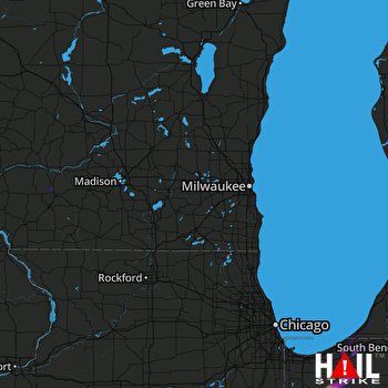 MILWAUKEE (KMKX) RADAR

