This weather event on September 24, 2025 includes:
3 states
15 counties,
20 cities,
and 61 zip codes.
There were total properties that were impacted and have possible damage.
States Impacted By Hail On September 24, 2025
Arkansas
·
Louisiana
·
Texas
Counties Impacted By Hail On September 24, 2025
Columbia, AR
·
Lafayette, AR
·
Miller, AR
·
Union, AR
·
Bossier, LA
·
Caddo, LA
·
Cameron, LA
·
Claiborne, LA
·
Webster, LA
·
Cherokee, TX
·
Harrison, TX
·
Houston, TX
·
Marion, TX
·
Nacogdoches, TX
·
Panola, TX
Cities Impacted By Hail On September 24, 2025
Blanchard, LA
·
Bossier City, LA
·
Carthage, TX
·
Cullen, LA
·
Eastwood, LA
·
El Dorado, AR
·
Emerson, AR
·
Gilliam, LA
·
Greenwood, LA
·
Haughton, LA
·
Haynesville, LA
·
Mooringsport, LA
·
Plain Dealing, LA
·
Red Chute, LA
·
Sarepta, LA
·
Shongaloo, LA
·
Shreveport, LA
·
Sibley, LA
·
Springhill, LA
·
Taylor, AR
Zip Codes Impacted By Hail On September 24, 2025
70607
·
70630
·
70631
·
71004
·
71006
·
71007
·
71018
·
71021
·
71029
·
71033
·
71037
·
71038
·
71040
·
71043
·
71044
·
71048
·
71055
·
71060
·
71064
·
71067
·
71071
·
71072
·
71073
·
71075
·
71079
·
71082
·
71101
·
71107
·
71110
·
71111
·
71112
·
71119
·
71129
·
71222
·
71256
·
71730
·
71740
·
71749
·
71753
·
71758
·
71826
·
71837
·
71845
·
71860
·
71861
·
75631
·
75633
·
75657
·
75661
·
75670
·
75672
·
75760
·
75785
·
75835
·
75844
·
75847
·
75925
·
75943
·
75964
·
75965
·
75976
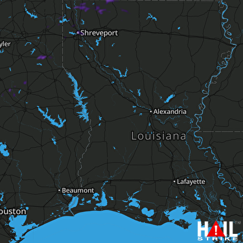 FORT POLK (KPOE) RADAR

