This weather event on September 20, 2025 includes:
4 states
10 counties,
26 cities,
and 66 zip codes.
There were total properties that were impacted and have possible damage.
States Impacted By Hail On September 20, 2025
Maryland
·
Ohio
·
Pennsylvania
·
West Virginia
Counties Impacted By Hail On September 20, 2025
Garrett, MD
·
Jefferson, OH
·
Fayette, PA
·
Greene, PA
·
Washington, PA
·
Westmoreland, PA
·
Brooke, WV
·
Monongalia, WV
·
Preston, WV
·
Tucker, WV
Cities Impacted By Hail On September 20, 2025
Aurora, WV
·
Bear Rocks, PA
·
Bobtown, PA
·
Brilliant, OH
·
Chalkhill, PA
·
Cheat Lake, WV
·
Deer Lake, PA
·
Fairchance, PA
·
Farmington, PA
·
Granville, WV
·
Hooverson Heights, WV
·
Hopwood, PA
·
Leith-Hatfield, PA
·
Mingo Junction, OH
·
Morgantown, WV
·
Nemacolin, PA
·
Ohiopyle, PA
·
Republic, PA
·
Ronco, PA
·
Rowlesburg, WV
·
Smithfield, PA
·
Star City, WV
·
Steubenville, OH
·
Tunnelton, WV
·
Wellsburg, WV
·
Westover, WV
Zip Codes Impacted By Hail On September 20, 2025
15315
·
15320
·
15327
·
15334
·
15337
·
15338
·
15341
·
15349
·
15351
·
15364
·
15370
·
15377
·
15401
·
15410
·
15417
·
15421
·
15424
·
15425
·
15433
·
15435
·
15437
·
15443
·
15445
·
15446
·
15447
·
15451
·
15458
·
15459
·
15461
·
15462
·
15463
·
15464
·
15469
·
15470
·
15474
·
15475
·
15478
·
15490
·
15610
·
15622
·
15666
·
15683
·
21550
·
26037
·
26070
·
26287
·
26410
·
26425
·
26440
·
26444
·
26501
·
26505
·
26508
·
26534
·
26537
·
26541
·
26554
·
26705
·
26716
·
26764
·
43913
·
43938
·
43952
·
43953
·
26543
·
15436
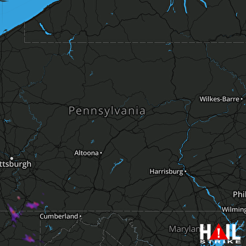 STATE COLLEGE (KCCX) RADAR

