This weather event on September 17, 2025 includes:
2 states
28 counties,
20 cities,
and 91 zip codes.
There were total properties that were impacted and have possible damage.
States Impacted By Hail On September 17, 2025
Kansas
·
Nebraska
Counties Impacted By Hail On September 17, 2025
Barton, KS
·
Brown, KS
·
Clay, KS
·
Dickinson, KS
·
Ellis, KS
·
Ellsworth, KS
·
Jackson, KS
·
Marion, KS
·
Marshall, KS
·
McPherson, KS
·
Morris, KS
·
Nemaha, KS
·
Ness, KS
·
Pawnee, KS
·
Pottawatomie, KS
·
Rice, KS
·
Riley, KS
·
Rush, KS
·
Russell, KS
·
Saline, KS
·
Stafford, KS
·
Frontier, NE
·
Furnas, NE
·
Gosper, NE
·
Harlan, NE
·
Hayes, NE
·
Red Willow, NE
·
Richardson, NE
Cities Impacted By Hail On September 17, 2025
Bern, KS
·
Bison, KS
·
Canton, KS
·
Durham, KS
·
Galva, KS
·
Hayes Center, NE
·
La Crosse, KS
·
Leonardville, KS
·
Liebenthal, KS
·
Little River, KS
·
McCracken, KS
·
McPherson, KS
·
Randolph, KS
·
Sabetha, KS
·
Salem, NE
·
Seneca, KS
·
Susank, KS
·
Tampa, KS
·
Wheaton, KS
·
Windom, KS
Zip Codes Impacted By Hail On September 17, 2025
66404
·
66408
·
66411
·
66415
·
66422
·
66427
·
66428
·
66449
·
66502
·
66515
·
66520
·
66521
·
66531
·
66534
·
66540
·
66544
·
66547
·
66549
·
66554
·
66838
·
66858
·
66859
·
66861
·
67063
·
67073
·
67410
·
67416
·
67425
·
67428
·
67431
·
67432
·
67438
·
67441
·
67443
·
67444
·
67448
·
67449
·
67451
·
67456
·
67457
·
67460
·
67464
·
67475
·
67483
·
67487
·
67491
·
67492
·
67513
·
67516
·
67520
·
67530
·
67544
·
67548
·
67553
·
67554
·
67556
·
67559
·
67564
·
67567
·
67575
·
67576
·
67601
·
67626
·
67634
·
67640
·
67651
·
67658
·
67660
·
67665
·
68337
·
68345
·
68433
·
68937
·
68948
·
68967
·
69001
·
69020
·
69022
·
69024
·
69025
·
69028
·
69032
·
69034
·
69036
·
69038
·
69040
·
69042
·
69045
·
66432
·
66538
·
67525
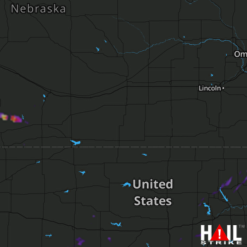 HASTINGS (KUEX) RADAR

