This weather event on August 29, 2025 includes:
3 states
12 counties,
21 cities,
and 55 zip codes.
There were 394 total properties that were impacted and have possible damage.
States Impacted By Hail On August 29, 2025
Iowa
·
Illinois
·
Wisconsin
Counties Impacted By Hail On August 29, 2025
Clayton, IA
·
Clinton, IA
·
Delaware, IA
·
Dubuque, IA
·
Jackson, IA
·
Jones, IA
·
Carroll, IL
·
Jo Daviess, IL
·
Rock Island, IL
·
Whiteside, IL
·
Grant, WI
·
Lafayette, WI
Cities Impacted By Hail On August 29, 2025
Albany, IL
·
Apple Canyon Lake, IL
·
Apple River, IL
·
Baldwin, IA
·
Benton, WI
·
Clayton, IA
·
Clinton, IA
·
Darlington, WI
·
Delmar, IA
·
Dickeyville, WI
·
Earlville, IA
·
Graf, IA
·
Kieler, WI
·
Lost Nation, IA
·
Maquoketa, IA
·
Mount Carroll, IL
·
Rickardsville, IA
·
Sabula, IA
·
Springbrook, IA
·
Stockton, IL
·
The Galena Territory, IL
Zip Codes Impacted By Hail On August 29, 2025
52031
·
52032
·
52033
·
52037
·
52039
·
52045
·
52049
·
52052
·
52053
·
52060
·
52069
·
52070
·
52074
·
52157
·
52207
·
52212
·
52223
·
52237
·
52254
·
52309
·
52310
·
52321
·
52362
·
52732
·
52742
·
52750
·
52751
·
53530
·
53541
·
53586
·
53801
·
53803
·
53806
·
53807
·
53808
·
53811
·
53818
·
53820
·
61001
·
61028
·
61036
·
61041
·
61053
·
61074
·
61075
·
61085
·
61087
·
61230
·
61250
·
61251
·
61252
·
61277
·
52041
·
52073
·
61242
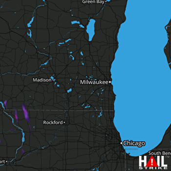 MILWAUKEE (KMKX) RADAR

