This weather event on August 19, 2025 includes:
2 states
15 counties,
18 cities,
and 52 zip codes.
There were total properties that were impacted and have possible damage.
States Impacted By Hail On August 19, 2025
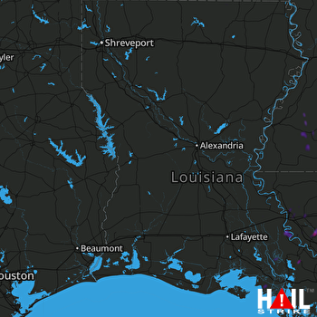
Louisiana
·
Mississippi
Counties Impacted By Hail On August 19, 2025
Ascension, LA
·
Assumption, LA
·
East Baton Rouge, LA
·
Iberia, LA
·
Iberville, LA
·
Livingston, LA
·
Morehouse, LA
·
St. Helena, LA
·
St. Martin, LA
·
St. Mary, LA
·
West Feliciana, LA
·
Adams, MS
·
Amite, MS
·
Franklin, MS
·
Jefferson, MS
Cities Impacted By Hail On August 19, 2025
Baker, LA
·
Baton Rouge, LA
·
Bayou Goula, LA
·
Brownfields, LA
·
Bude, MS
·
Central, LA
·
Denham Springs, LA
·
French Settlement, LA
·
Gonzales, LA
·
Merrydale, LA
·
Napoleonville, LA
·
Plaquemine, LA
·
Prairieville, LA
·
Sorrento, LA
·
St. Gabriel, LA
·
Walker, LA
·
Westminster, LA
·
White Castle, LA
Zip Codes Impacted By Hail On August 19, 2025
39069
·
39096
·
39120
·
39630
·
39633
·
39638
·
39645
·
39647
·
39652
·
39653
·
39664
·
70339
·
70390
·
70449
·
70538
·
70706
·
70714
·
70733
·
70734
·
70737
·
70739
·
70740
·
70754
·
70757
·
70764
·
70769
·
70770
·
70774
·
70775
·
70776
·
70778
·
70780
·
70785
·
70788
·
70791
·
70802
·
70805
·
70806
·
70807
·
70808
·
70809
·
70810
·
70811
·
70812
·
70814
·
70815
·
70816
·
70818
·
70819
·
71220
·
70726
·
39661
 FORT POLK (KPOE) RADAR

