This weather event on August 10, 2025 includes:
2 states
20 counties,
15 cities,
and 62 zip codes.
There were 21 total properties that were impacted and have possible damage.
States Impacted By Hail On August 10, 2025
Kansas
·
Nebraska
Counties Impacted By Hail On August 10, 2025
Barton, KS
·
Decatur, KS
·
Ellsworth, KS
·
Graham, KS
·
Marion, KS
·
McPherson, KS
·
Mitchell, KS
·
Pottawatomie, KS
·
Rice, KS
·
Rush, KS
·
Russell, KS
·
Stafford, KS
·
Trego, KS
·
Custer, NE
·
Dawson, NE
·
Frontier, NE
·
Hayes, NE
·
Hitchcock, NE
·
Lincoln, NE
·
Red Willow, NE
Cities Impacted By Hail On August 10, 2025
Alden, KS
·
Brady, NE
·
Canton, KS
·
Culbertson, NE
·
Galva, KS
·
Holyrood, KS
·
Lyons, KS
·
McCook, NE
·
McPherson, KS
·
North Platte, NE
·
Sterling, KS
·
Sumner, NE
·
Westmoreland, KS
·
Wilson, KS
·
Windom, KS
Zip Codes Impacted By Hail On August 10, 2025
66535
·
66547
·
66549
·
67063
·
67073
·
67427
·
67428
·
67438
·
67439
·
67443
·
67444
·
67446
·
67450
·
67452
·
67457
·
67459
·
67460
·
67464
·
67490
·
67491
·
67512
·
67524
·
67525
·
67526
·
67530
·
67544
·
67545
·
67546
·
67554
·
67573
·
67575
·
67576
·
67579
·
67634
·
67672
·
68814
·
68822
·
68825
·
68855
·
68860
·
68878
·
69001
·
69024
·
69025
·
69029
·
69032
·
69034
·
69038
·
69039
·
69040
·
69044
·
69101
·
69120
·
69123
·
69130
·
69132
·
69138
·
69151
·
69169
·
69170
·
67749
·
67548
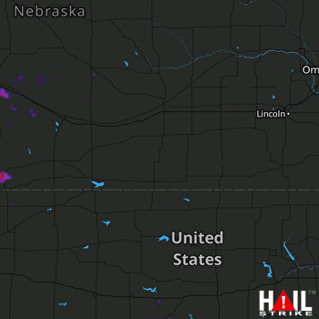 HASTINGS (KUEX) RADAR

