This weather event on July 30, 2025 includes:
5 states
19 counties,
13 cities,
and 48 zip codes.
There were total properties that were impacted and have possible damage.
States Impacted By Hail On July 30, 2025
Kentucky
·
North Carolina
·
Tennessee
·
Virginia
·
West Virginia
Counties Impacted By Hail On July 30, 2025
Harlan, KY
·
Ashe, NC
·
Watauga, NC
·
Hawkins, TN
·
Johnson, TN
·
Sullivan, TN
·
Washington, TN
·
Alleghany, VA
·
Augusta, VA
·
Craig, VA
·
Scott, VA
·
Doddridge, WV
·
Gilmer, WV
·
Logan, WV
·
Pendleton, WV
·
Randolph, WV
·
Ritchie, WV
·
Tucker, WV
·
Wyoming, WV
Cities Impacted By Hail On July 30, 2025
Bloomingdale, TN
·
Blountville, TN
·
Bristol, TN
·
Cawood, KY
·
Colonial Heights, TN
·
Gray, TN
·
Hambleton, WV
·
Hendricks, WV
·
Oak Grove, TN
·
Spurgeon, TN
·
Surgoinsville, TN
·
Walnut Hill, TN
·
West Jefferson, NC
Zip Codes Impacted By Hail On July 30, 2025
22843
·
24127
·
24131
·
24244
·
24250
·
24251
·
24421
·
24426
·
24823
·
24827
·
24882
·
25617
·
25650
·
26241
·
26254
·
26268
·
26269
·
26270
·
26271
·
26287
·
26325
·
26411
·
26443
·
26807
·
26815
·
26866
·
26884
·
28640
·
28692
·
28694
·
37615
·
37617
·
37618
·
37620
·
37640
·
37642
·
37660
·
37663
·
37664
·
37665
·
37683
·
37857
·
37873
·
40815
·
40818
·
40820
·
40829
·
26342
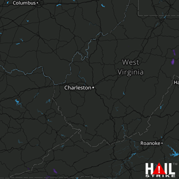 CHARLESTON (KRLX) RADAR

