This weather event on May 18, 2025 includes:
2 states
23 counties,
13 cities,
and 49 zip codes.
There were total properties that were impacted and have possible damage.
States Impacted By Hail On May 18, 2025
Alabama
·
Georgia
Counties Impacted By Hail On May 18, 2025
Barbour, AL
·
Russell, AL
·
Appling, GA
·
Bacon, GA
·
Bleckley, GA
·
Chattahoochee, GA
·
Coffee, GA
·
Dodge, GA
·
Dooly, GA
·
Houston, GA
·
Jeff Davis, GA
·
Macon, GA
·
Marion, GA
·
Peach, GA
·
Pierce, GA
·
Pulaski, GA
·
Schley, GA
·
Stewart, GA
·
Sumter, GA
·
Taylor, GA
·
Telfair, GA
·
Webster, GA
·
Wheeler, GA
Cities Impacted By Hail On May 18, 2025
Americus, GA
·
Andersonville, GA
·
Chauncey, GA
·
Cusseta-Chattahoochee County, GA
·
Eastman, GA
·
Ellaville, GA
·
Hawkinsville, GA
·
Marshallville, GA
·
McRae-Helena, GA
·
Patterson, GA
·
Perry, GA
·
Phenix City, AL
·
Webster County, GA
Zip Codes Impacted By Hail On May 18, 2025
31006
·
31007
·
31011
·
31014
·
31023
·
31025
·
31030
·
31036
·
31037
·
31041
·
31047
·
31055
·
31057
·
31058
·
31063
·
31068
·
31069
·
31076
·
31081
·
31510
·
31512
·
31513
·
31516
·
31519
·
31532
·
31535
·
31539
·
31544
·
31554
·
31557
·
31567
·
31650
·
31709
·
31711
·
31719
·
31780
·
31801
·
31803
·
31805
·
31806
·
31815
·
31824
·
31825
·
31905
·
36027
·
36053
·
36856
·
36869
·
36875
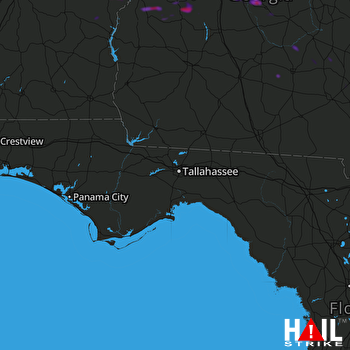 TALLAHASSEE (KTLH) RADAR

