This weather event on May 1, 2025 includes:
3 states
28 counties,
17 cities,
and 73 zip codes.
There were 2013 total properties that were impacted and have possible damage.
States Impacted By Hail On May 1, 2025
Arkansas
·
Louisiana
·
Mississippi
Counties Impacted By Hail On May 1, 2025
Ashley, AR
·
East Carroll, LA
·
East Feliciana, LA
·
Morehouse, LA
·
Ouachita, LA
·
Richland, LA
·
St. Helena, LA
·
Tangipahoa, LA
·
Union, LA
·
West Carroll, LA
·
Amite, MS
·
Calhoun, MS
·
Carroll, MS
·
Chickasaw, MS
·
Choctaw, MS
·
Clay, MS
·
Copiah, MS
·
Franklin, MS
·
Grenada, MS
·
Leflore, MS
·
Lincoln, MS
·
Monroe, MS
·
Pike, MS
·
Sunflower, MS
·
Tallahatchie, MS
·
Walthall, MS
·
Webster, MS
·
Yalobusha, MS
Cities Impacted By Hail On May 1, 2025
Amite City, LA
·
Bastrop, LA
·
Big Creek, MS
·
Collinston, LA
·
Crossett, AR
·
Farmerville, LA
·
Kentwood, LA
·
Magnolia, MS
·
McComb, MS
·
Mer Rouge, LA
·
North Crossett, AR
·
Oak Ridge, LA
·
Pittsboro, MS
·
Rayville, LA
·
Roseland, LA
·
Tangipahoa, LA
·
West Crossett, AR
Zip Codes Impacted By Hail On May 1, 2025
38761
·
38778
·
38850
·
38851
·
38860
·
38878
·
38901
·
38914
·
38915
·
38916
·
38917
·
38920
·
38922
·
38929
·
38940
·
38941
·
38945
·
38951
·
38952
·
38953
·
39078
·
39083
·
39095
·
39176
·
39191
·
39601
·
39629
·
39635
·
39641
·
39645
·
39647
·
39648
·
39652
·
39653
·
39657
·
39662
·
39664
·
39665
·
39666
·
39667
·
39730
·
39744
·
39756
·
39773
·
70422
·
70436
·
70441
·
70443
·
70444
·
70456
·
70722
·
70730
·
70761
·
70777
·
71203
·
71220
·
71229
·
71234
·
71237
·
71241
·
71254
·
71260
·
71261
·
71263
·
71264
·
71266
·
71280
·
71635
·
71646
·
71269
·
71232
·
70465
·
38930
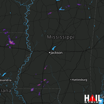 JACKSON (KDGX) RADAR

