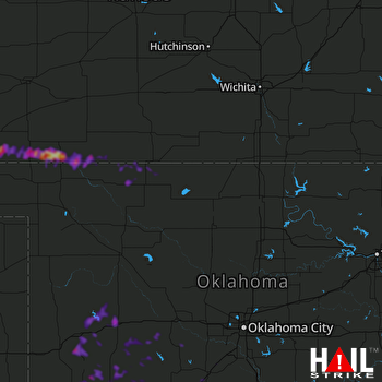
This weather event on April 24, 2025 includes:
2 states
21 counties,
23 cities,
and 69 zip codes.
There were 270 total properties that were impacted and have possible damage.
States Impacted By Hail On April 24, 2025
Kansas
·
Oklahoma
Counties Impacted By Hail On April 24, 2025
Barber, KS
·
Clark, KS
·
Comanche, KS
·
Meade, KS
·
Seward, KS
·
Alfalfa, OK
·
Beckham, OK
·
Caddo, OK
·
Comanche, OK
·
Custer, OK
·
Garvin, OK
·
Grady, OK
·
Greer, OK
·
Harper, OK
·
Kiowa, OK
·
Lincoln, OK
·
Roger Mills, OK
·
Seminole, OK
·
Stephens, OK
·
Washita, OK
·
Woods, OK
Cities Impacted By Hail On April 24, 2025
Apache, OK
·
Ashland, KS
·
Bowlegs, OK
·
Bray, OK
·
Burns Flat, OK
·
Butler, OK
·
Canute, OK
·
Chickasha, OK
·
Clinton, OK
·
Colony, OK
·
Corn, OK
·
Davenport, OK
·
Elgin, OK
·
Elk City, OK
·
Gotebo, OK
·
Granite, OK
·
Hobart, OK
·
Lawton, OK
·
Lone Wolf, OK
·
New Cordell, OK
·
Norge, OK
·
Plains, KS
·
Rush Springs, OK
Zip Codes Impacted By Hail On April 24, 2025
67029
·
67057
·
67071
·
67127
·
67155
·
67831
·
67840
·
67844
·
67859
·
67864
·
67869
·
73004
·
73006
·
73009
·
73015
·
73017
·
73018
·
73021
·
73024
·
73038
·
73041
·
73042
·
73048
·
73052
·
73053
·
73055
·
73062
·
73067
·
73096
·
73434
·
73501
·
73503
·
73507
·
73538
·
73541
·
73547
·
73552
·
73564
·
73601
·
73620
·
73622
·
73624
·
73625
·
73626
·
73632
·
73639
·
73641
·
73644
·
73647
·
73650
·
73651
·
73655
·
73661
·
73662
·
73664
·
73717
·
73722
·
73834
·
73842
·
73855
·
74026
·
74079
·
74830
·
74834
·
74854
·
74868
·
73082
·
73559
·
73627
 VANCE AFB (KVNX) RADAR

