This weather event on April 4, 2025 includes:
2 states
23 counties,
5 cities,
and 86 zip codes.
There were total properties that were impacted and have possible damage.
States Impacted By Hail On April 4, 2025
Kentucky
·
North Carolina
Counties Impacted By Hail On April 4, 2025
Bath, KY
·
Bell, KY
·
Carter, KY
·
Clark, KY
·
Clay, KY
·
Estill, KY
·
Fleming, KY
·
Jackson, KY
·
Knott, KY
·
Knox, KY
·
Lee, KY
·
Leslie, KY
·
Letcher, KY
·
Madison, KY
·
Mason, KY
·
Menifee, KY
·
Montgomery, KY
·
Perry, KY
·
Pike, KY
·
Powell, KY
·
Rowan, KY
·
Avery, NC
·
Watauga, NC
Cities Impacted By Hail On April 4, 2025
Blackey, KY
·
Cove Creek, NC
·
Hyden, KY
·
Manchester, KY
·
Vicco, KY
Zip Codes Impacted By Hail On April 4, 2025
28604
·
28622
·
28679
·
28692
·
40312
·
40313
·
40316
·
40322
·
40336
·
40337
·
40351
·
40353
·
40371
·
40376
·
40380
·
40385
·
40391
·
40403
·
40447
·
40472
·
40475
·
40486
·
40810
·
40827
·
40840
·
40844
·
40858
·
40868
·
40874
·
40902
·
40906
·
40913
·
40935
·
40941
·
40946
·
40962
·
40972
·
40979
·
40982
·
40997
·
41041
·
41055
·
41056
·
41164
·
41301
·
41311
·
41360
·
41572
·
41701
·
41714
·
41721
·
41723
·
41731
·
41746
·
41749
·
41751
·
41754
·
41759
·
41760
·
41762
·
41763
·
41764
·
41766
·
41773
·
41774
·
41775
·
41776
·
41777
·
41812
·
41824
·
41825
·
41826
·
41828
·
41832
·
41836
·
41843
·
41845
·
41847
·
41855
·
41858
·
41862
·
41838
·
41804
·
40914
·
40816
·
40387
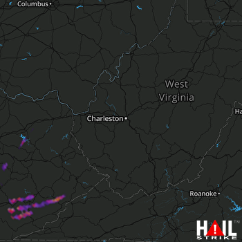 CHARLESTON (KRLX) RADAR

