This weather event on September 21, 2024 includes:
3 states
16 counties,
15 cities,
and 63 zip codes.
There were total properties that were impacted and have possible damage.
States Impacted By Hail On September 21, 2024
Illinois
·
Indiana
·
Kentucky
Counties Impacted By Hail On September 21, 2024
Edwards, IL
·
Wabash, IL
·
Wayne, IL
·
White, IL
·
Gibson, IN
·
Perry, IN
·
Posey, IN
·
Spencer, IN
·
Vanderburgh, IN
·
Warrick, IN
·
Breckinridge, KY
·
Daviess, KY
·
Hancock, KY
·
Hardin, KY
·
Henderson, KY
·
Ohio, KY
Cities Impacted By Hail On September 21, 2024
Albion, IL
·
Bellmont, IL
·
Browns, IL
·
Cannelton, IN
·
Cecilia, KY
·
Elberfeld, IN
·
Elizabethtown, KY
·
Evansville, IN
·
Grayville, IL
·
Hatfield, IN
·
Henderson, KY
·
Keensburg, IL
·
Maceo, KY
·
New Harmony, IN
·
Whitesville, KY
Zip Codes Impacted By Hail On September 21, 2024
40111
·
40115
·
40143
·
40144
·
40145
·
40152
·
40162
·
40175
·
40178
·
42301
·
42343
·
42348
·
42351
·
42355
·
42366
·
42368
·
42378
·
42420
·
42451
·
42458
·
42701
·
42712
·
42732
·
42740
·
47520
·
47601
·
47610
·
47612
·
47613
·
47616
·
47619
·
47620
·
47630
·
47631
·
47633
·
47634
·
47635
·
47638
·
47639
·
47648
·
47665
·
47712
·
47713
·
47714
·
47715
·
47720
·
62446
·
62476
·
62806
·
62809
·
62811
·
62815
·
62818
·
62820
·
62827
·
62833
·
62837
·
62842
·
62843
·
62844
·
62852
·
62863
·
42724
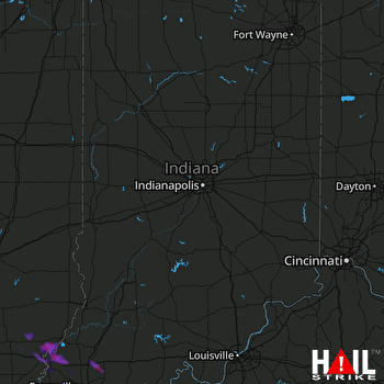 INDIANAPOLIS (KIND) RADAR

