This weather event on August 29, 2024 includes:
3 states
14 counties,
30 cities,
and 56 zip codes.
There were total properties that were impacted and have possible damage.
States Impacted By Hail On August 29, 2024
Ohio
·
Pennsylvania
·
West Virginia
Counties Impacted By Hail On August 29, 2024
Athens, OH
·
Belmont, OH
·
Hocking, OH
·
Monroe, OH
·
Noble, OH
·
Washington, OH
·
Allegheny, PA
·
Armstrong, PA
·
Greene, PA
·
Washington, PA
·
Westmoreland, PA
·
Monongalia, WV
·
Wetzel, WV
·
Wood, WV
Cities Impacted By Hail On August 29, 2024
Athens, OH
·
Boaz, WV
·
Cheswick, PA
·
Dexter City, OH
·
East McKeesport, PA
·
Eighty Four, PA
·
Finleyville, PA
·
Gastonville, PA
·
Jefferson Hills, PA
·
McKeesport, PA
·
Monroeville, PA
·
Morrisville, PA
·
Murrysville, PA
·
Oklahoma, PA
·
Orchard Hills, PA
·
Pitcairn, PA
·
Pleasant Hills, PA
·
Plum, PA
·
Rogersville, PA
·
South Park Township, PA
·
Springdale, PA
·
The Plains, OH
·
Trafford, PA
·
Wall, PA
·
Washington, PA
·
Waynesburg, PA
·
West Waynesburg, PA
·
White Oak, PA
·
Williamstown, WV
·
Wilmerding, PA
Zip Codes Impacted By Hail On August 29, 2024
15024
·
15025
·
15035
·
15068
·
15085
·
15122
·
15131
·
15132
·
15137
·
15140
·
15144
·
15146
·
15147
·
15148
·
15236
·
15239
·
15301
·
15311
·
15323
·
15329
·
15330
·
15332
·
15352
·
15359
·
15364
·
15370
·
15377
·
15613
·
15668
·
26105
·
26187
·
26562
·
26575
·
26590
·
43713
·
43724
·
43773
·
43779
·
43793
·
43946
·
43977
·
43983
·
45727
·
45734
·
45744
·
45745
·
45746
·
45750
·
45764
·
45767
·
45780
·
45786
·
45788
·
45789
·
15129
·
45701
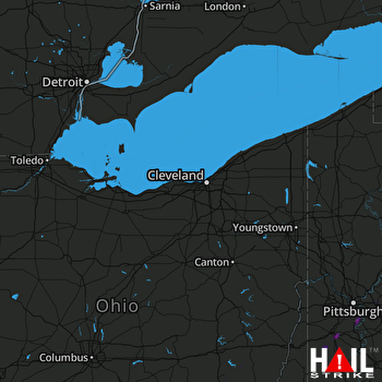 CLEVELAND (KCLE) RADAR

