This weather event on August 27, 2024 includes:
2 states
10 counties,
26 cities,
and 62 zip codes.
There were total properties that were impacted and have possible damage.
States Impacted By Hail On August 27, 2024
Michigan
·
Ohio
Counties Impacted By Hail On August 27, 2024
Ingham, MI
·
Jackson, MI
·
Lenawee, MI
·
Livingston, MI
·
Monroe, MI
·
Oakland, MI
·
Washtenaw, MI
·
Wayne, MI
·
Paulding, OH
·
Van Wert, OH
Cities Impacted By Hail On August 27, 2024
Ann Arbor, MI
·
Chelsea, MI
·
Dexter, MI
·
Ecorse, MI
·
Farmington Hills, MI
·
Grass Lake, MI
·
Haviland, OH
·
Jackson, MI
·
Latty, OH
·
Livonia, MI
·
Manchester, MI
·
Michigan Center, MI
·
Northville, MI
·
Novi, MI
·
Pinckney, MI
·
Plymouth, MI
·
River Rouge, MI
·
Romulus, MI
·
Saline, MI
·
Scott, OH
·
South Lyon, MI
·
Stockbridge, MI
·
Stony Point, MI
·
Whitmore Lake, MI
·
Woodhaven, MI
·
Ypsilanti, MI
Zip Codes Impacted By Hail On August 27, 2024
45851
·
45855
·
45863
·
45879
·
45886
·
45891
·
48103
·
48104
·
48105
·
48108
·
48109
·
48111
·
48116
·
48118
·
48134
·
48137
·
48139
·
48143
·
48152
·
48154
·
48158
·
48164
·
48165
·
48166
·
48167
·
48168
·
48169
·
48170
·
48173
·
48174
·
48176
·
48178
·
48179
·
48183
·
48188
·
48189
·
48190
·
48191
·
48197
·
48198
·
48218
·
48229
·
48374
·
48375
·
48377
·
48819
·
48836
·
48843
·
48855
·
48892
·
49201
·
49202
·
49203
·
49236
·
49240
·
49254
·
49259
·
49285
·
49286
·
49287
·
48160
·
48130
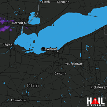 CLEVELAND (KCLE) RADAR

