This weather event on May 16, 2024 includes:
2 states
31 counties,
16 cities,
and 82 zip codes.
There were 1245 total properties that were impacted and have possible damage.
States Impacted By Hail On May 16, 2024
New Mexico
·
Texas
Counties Impacted By Hail On May 16, 2024
Chaves, NM
·
Colfax, NM
·
De Baca, NM
·
Eddy, NM
·
Guadalupe, NM
·
Harding, NM
·
Lea, NM
·
Lincoln, NM
·
Otero, NM
·
Quay, NM
·
Roosevelt, NM
·
San Miguel, NM
·
Union, NM
·
Armstrong, TX
·
Bailey, TX
·
Briscoe, TX
·
Castro, TX
·
Cochran, TX
·
Dallam, TX
·
Deaf Smith, TX
·
Gaines, TX
·
Hale, TX
·
Hartley, TX
·
Hockley, TX
·
Lamb, TX
·
Lynn, TX
·
Oldham, TX
·
Randall, TX
·
Swisher, TX
·
Terry, TX
·
Yoakum, TX
Cities Impacted By Hail On May 16, 2024
Carrizozo, NM
·
Causey, NM
·
Denver City, TX
·
Hobbs, NM
·
Lake Sumner, NM
·
Littlefield, TX
·
Nazareth, TX
·
North Hobbs, NM
·
Plains, TX
·
Portales, NM
·
Puerto de Luna, NM
·
Roswell, NM
·
Roy, NM
·
Ruidoso, NM
·
Sudan, TX
·
Tulia, TX
Zip Codes Impacted By Hail On May 16, 2024
79001
·
79015
·
79018
·
79019
·
79022
·
79027
·
79031
·
79041
·
79042
·
79043
·
79045
·
79052
·
79063
·
79088
·
79094
·
79226
·
79257
·
79312
·
79316
·
79323
·
79324
·
79336
·
79339
·
79346
·
79347
·
79355
·
79359
·
79360
·
79371
·
79373
·
79378
·
79381
·
87733
·
87743
·
87746
·
87747
·
88113
·
88114
·
88116
·
88118
·
88119
·
88125
·
88126
·
88130
·
88132
·
88134
·
88136
·
88201
·
88203
·
88230
·
88240
·
88242
·
88250
·
88260
·
88262
·
88264
·
88267
·
88301
·
88312
·
88316
·
88323
·
88324
·
88336
·
88338
·
88339
·
88340
·
88341
·
88343
·
88345
·
88346
·
88351
·
88410
·
88411
·
88415
·
88422
·
88426
·
88430
·
88435
·
88436
·
88265
·
88210
·
79064
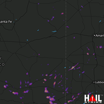 CANNON AFB (KFDX) RADAR

