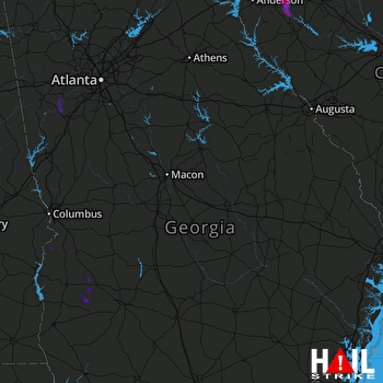
This weather event on August 21, 2026 includes:
3 states
30 counties,
14 cities,
and 56 zip codes.
There were total properties that were impacted and have possible damage.
States Impacted By Hail On August 21, 2026
Alabama
·
Georgia
·
South Carolina
Counties Impacted By Hail On August 21, 2026
Chambers, AL
·
Clay, AL
·
Randolph, AL
·
Russell, AL
·
Tallapoosa, AL
·
Calhoun, GA
·
Carroll, GA
·
Chattahoochee, GA
·
Coweta, GA
·
Douglas, GA
·
Fulton, GA
·
Harris, GA
·
Heard, GA
·
Marion, GA
·
Muscogee, GA
·
Paulding, GA
·
Pike, GA
·
Randolph, GA
·
Stewart, GA
·
Talbot, GA
·
Terrell, GA
·
Upson, GA
·
Webster, GA
·
Abbeville, SC
·
Anderson, SC
·
Greenville, SC
·
Greenwood, SC
·
Laurens, SC
·
Oconee, SC
·
Pickens, SC
Cities Impacted By Hail On August 21, 2026
Chattahoochee Hills, GA
·
Columbus, GA
·
Cusseta-Chattahoochee County, GA
·
Franklin, GA
·
La Fayette, AL
·
New Site, AL
·
Princeton, SC
·
Shellman, GA
·
Temple, GA
·
Walhalla, SC
·
Ware Shoals, SC
·
Webster County, GA
·
West Union, SC
·
Whitesburg, GA
Zip Codes Impacted By Hail On August 21, 2026
29360
·
29627
·
29630
·
29638
·
29644
·
29645
·
29653
·
29654
·
29657
·
29669
·
29670
·
29672
·
29691
·
29692
·
29693
·
29696
·
30116
·
30135
·
30179
·
30180
·
30185
·
30187
·
30217
·
30258
·
30263
·
30268
·
30286
·
31801
·
31803
·
31805
·
31814
·
31815
·
31820
·
31821
·
31825
·
31826
·
31831
·
31836
·
31909
·
35010
·
36027
·
36255
·
36256
·
36266
·
36276
·
36850
·
36853
·
36861
·
36862
·
36871
·
39840
·
39842
·
39846
·
39862
·
39866
·
39886
 ROBINS AFB (KJGX) RADAR